Ground and airborne 3D laser scanning
3D laser scanning using LIDAR (Light Detection and Ranging) is a measurement method that uses laser light to acquire a 3D geometric model of the scanned object. The result of scanning is a point cloud, which after processing reflects, among others, plans, maps, drawings, DTM terrain models and visualisations. Our scanners can also retrieve colour information about the object. It is also possible to integrate the scanner with a camera, allowing laser scanning with simultaneous collection of photographic documentation, which can then be added to the point cloud as an additional attribute, i.e. the colour of the point. The data obtained by 3D laser scanning can be used for design work, analysis of vegetation condition, the condition of distribution and transmission network assets or archiving of object data that can later be used in CAD, GIS and BIM technology.
Laser scanning enables:
- spatial archiving of infrastructure
- support for project supervision in BIM technology
- using the data obtained to carry out design work
- acquisition of the point cloud necessary for accurate mapping of the overhead line and its surroundings and construction of its accurate mathematical model in specialist software
- easy and quick way to collect a huge amount of precise data from the measurement performed - approx. 1.2 million points from a single measurement location
- realistic reproduction of existing structures, objects, areas
- structural deformation and collision study
- precise imaging of vegetation
- volume measurements
Laser scanning is commonly used for 3D inventory in the energy industry. It provides specialists with accurate and reliable data on elements such as high-voltage towers, transmission and distribution lines, and substations. It allows you to obtain a high level of detail necessary for the design of installations and their ongoing operation.
Detailed 3D data about objects
3D laser scanning is a measurement method that uses concentrated laser light to obtain a geometric model of an object. This allows for comprehensive provision of information about the entire power infrastructure. In this way, it is possible to prepare a profile of transmission lines, drawings presenting the view of the lines with information such as cable sags, tower heights and topography of the terrain.
Inspection of the technical condition of the installation
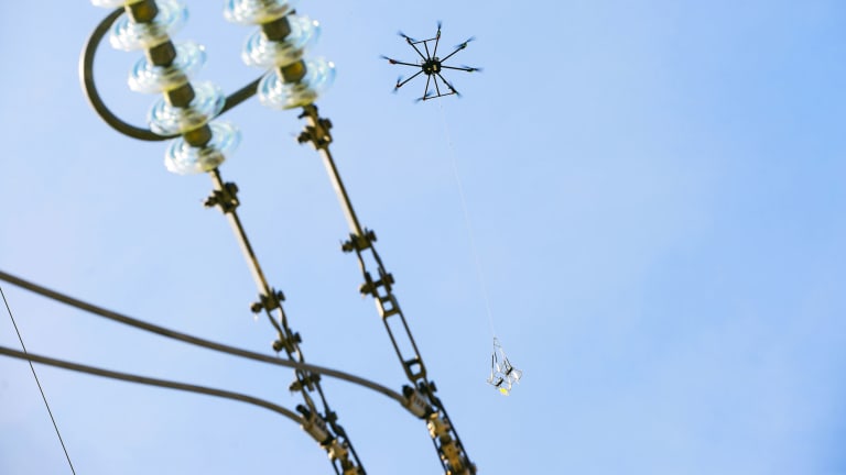
Laser scanning also allows you to inspect the technical condition of high elements, including power tower. Based on the scans, it is possible to create three-dimensional terrain models or visualizations useful during design work. In a non-invasive way, from the ground level or using a specialized drone, you can check the condition of individual installation parts. This does not involve network interruptions or other inconvenience for users.
Geometric data and photo documentation
The advantages of laser scanning performed by Eltel Networks for its clients include high precision and speed. By performing laser scanning, a huge amount of geometric data about objects is obtained. During measurement, approximately 1.2 million points can be obtained during each second of scanning. In this way, a point cloud is obtained that represents an object in 3D space. Scanners can provide information about the colour of objects when integrated and connected to a camera. This allows to provide laser scanning with collecting extensive photographic documentation.
Mapping of the installation and surroundings
Data obtained through laser scanning can be used for design work or data archiving, which can then be used in CAD, GIS and BIM technology programs. The point cloud can map not only the overhead power line, but also its surroundings in detail. This allows for the analysis of the risk of collision between existing infrastructure and planned ones. It is also possible to examine structure deformations, measure volumes and precisely assess the condition of vegetation. Eltel Networks provides support in all the above-mentioned aspects.
Combining different working methods
It is possible to combine different working methods to obtain the best data. We can use such approach, for example, when scanning wind farms and simultaneously performing calculations on issues such as deformations of windmill blades or deviations of towers from the vertical line. Regardless of the choice of information processing method, laser scanning is highly effective. It is a technology used to support network designers, constructors, state-owned enterprises and construction companies dealing with the maintenance of power installations.


